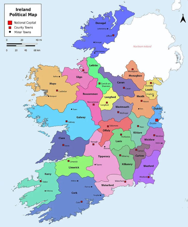
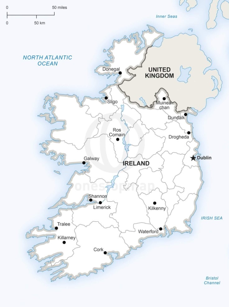
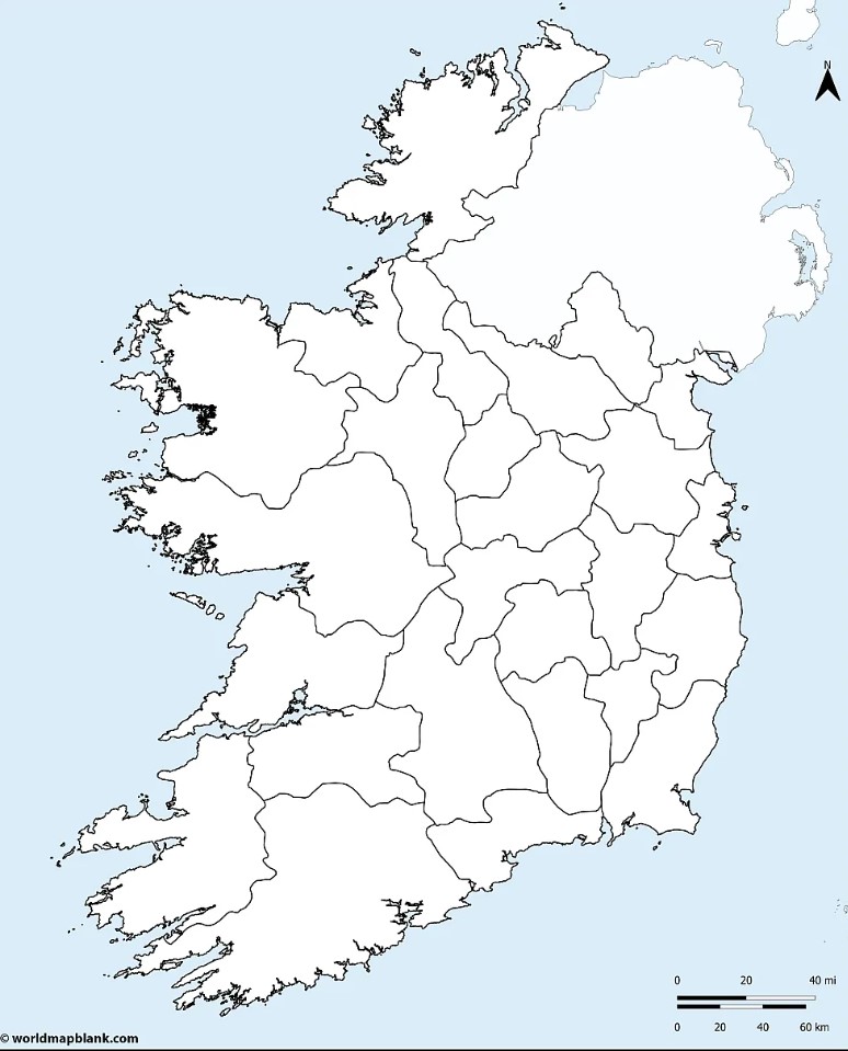
Ireland, with its rugged landscapes, rich heritage, and warm hospitality, is a land that captures the imagination of travelers. From the majestic Cliffs of Moher to the vibrant streets of Dublin, there is a wealth of enchanting experiences awaiting you. To help navigate through the emerald isle with ease and discover its hidden treasures, a printable map of Ireland is an invaluable tool. In this article, we will explore the advantages of using a printable map and guide you through some of the must-visit destinations in Ireland.

Why Opt for a Printable Map?
In an era dominated by digital technology, the appeal of a printable map may seem nostalgic. However, there are several reasons why having a physical map of Ireland is advantageous for travelers:
- Reliable Resource: A printed map serves as a dependable backup when technology fails, ensuring you can find your way even in remote areas or when your electronic devices run out of battery.
- Visual Context: A physical map allows you to get a visual sense of the entire country, its regions, and the proximity of various attractions. It helps you plan your itinerary more effectively and make informed decisions about which places to visit.
- Interaction and Engagement: Unfolding a map and tracing your route with your finger provides a tactile and engaging experience. It allows you to actively participate in your journey, creating a deeper connection with the places you explore.

Exploring Ireland with a Printable Map
Ireland’s diverse landscapes and rich cultural heritage offer a myriad of experiences. Here are a few must-see destinations in Ireland that can be easily explored with the help of a printable map:
- Dublin: Ireland’s vibrant capital is a melting pot of history, culture, and entertainment. With a printable map, you can navigate the city’s streets and visit iconic sites such as Trinity College, Dublin Castle, St. Patrick’s Cathedral, and the lively Temple Bar district.
- Ring of Kerry: The Ring of Kerry is a scenic driving route that winds through the enchanting landscapes of County Kerry. A printable map will guide you through charming towns, ancient ruins, pristine lakes, and picturesque coastal vistas.
- Giant’s Causeway: Located in Northern Ireland, the Giant’s Causeway is a UNESCO World Heritage Site and a geological marvel. A printable map will help you find your way to this mythical landscape of hexagonal basalt columns and stunning coastal views.
- Connemara: Nestled in the west of Ireland, Connemara is a region of wild beauty, marked by rugged mountains, serene lakes, and peat bogs. With a printable map, you can explore the Connemara National Park, Kylemore Abbey, and the charming village of Clifden.

A printable map of Ireland is a valuable companion for travelers eager to unravel the magical allure of the Emerald Isle. Whether you’re strolling through the vibrant streets of Dublin, immersing yourself in the stunning landscapes of the Ring of Kerry, or experiencing the mythic wonders of Giant’s Causeway, a physical map ensures you can navigate with confidence and fully embrace the treasures that Ireland holds. So, before you embark on your Irish adventure, make sure to print out a map, trace your route, and let it guide you through the captivating landscapes and warm hospitality that Ireland has to offer.